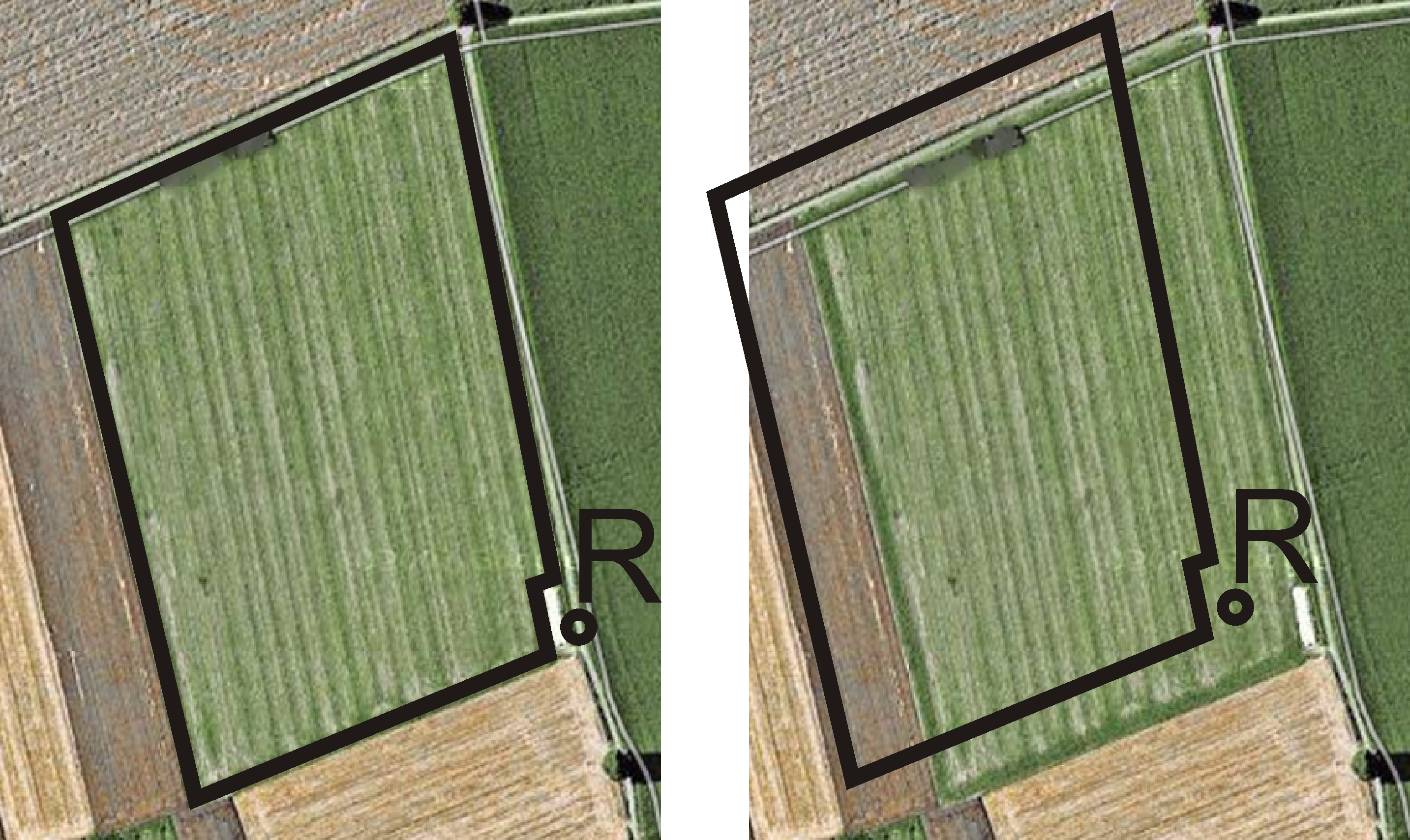
What do you need a reference point for?
A reference point will enable you to compare your actual GPS coordinates with the saved GPS coordinates and compensate for any drift (displacement).
To calibrate the GPS position you need a fixed point on the ground, the so-called reference point. When the GPS position is calibrated, the stored coordinates of the Reference point are compared with the current coordinates.
If you do not set a reference point nor calibrate the GPS position each time before starting work, the following will happen:
The saved GPS coordinates for the field boundary, guidance lines, etc. will differ from the actual values. As a result, you may miss applying parts of the field because the saved position of the field is outside the field boundary.
In order to ensure maximum precision:
- 1.
- Set a reference point the first time you drive over each field.
- 2.
- Calibrate the GPS position of a field for which you have already set a reference point before you edit the field.
- 3.
- Calibrate the GPS position occasionally during long periods of work.


